
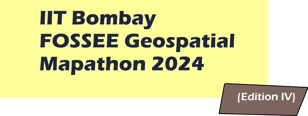


Mapathon is a map making competition for creating thematic maps, using open source data and mapping software. It is a collaborative event where participants come together to develop new tools/methods that improve the accuracy and usefulness of maps for a community. The FOSSEE team at IIT Bombay, along with its partners (earlier partners were AICTE, ISRO) will invite all Indians - to produce maps using various data (e.g. observation data, remote sensing data, crowdsourced data, etc.). The primary objective is to understand the potential of remote sensing data and make maps for Indian regions using free open source mapping software (e.g.: QGIS). The participants will collectively work in a crowd sourcing method for jointly producing thematic maps of India.
TThe data collected from various platforms have tremendous potential in mapping India’s resources, agriculture, climate and disaster management, rural and urban planning and in identifying pathways for future development. Such maps can be created using Free open Source platforms (such as QGIS). Let us join together to create such maps through the Mapathon.
Mapathon also aims to develop indigenous capacity to customize and employ mapping to resolve societal challenges and create new opportunities for young India.-. The primary objective is to understand the potential of open source mapping and maps for Indian regions and to build capacity for the same.
| Registration start date | Feb 15, 2025 |
| Registration end date | June 25, 2025 |
| Orientation | June 10, 2025 |
| Doubt clearing session 01 | June 25, 2025 |
| Doubt clearing session 02 | June 30, 2025 |
| Submission start date | June 01, 2025 |
| Submission end date | June 30, 2024 |
| Mapathon Evaluation | July 01 to July 03, 2025 |
| 01 minute (recording) presentation submission by winners | July 05, 2025 (by Champions/ Winners) |
| Declaration of Results* | TBD |
The following are the mandates of the IIT Bombay FOSSEE GIS team. It is requested that the applicant(s) before or during the time of registration go through all the mandates laid out by the IIT Bombay FOSSEE GIS team, and adhere to it. It any violation/ breach of any mandate is found at any phase of the Mapathon, the concerned team(s) shall be disqualified without any further notice. It is also to be noted that at all times, the decision of the IIT Bombay FOSSEE GIS team shall be final and non-appealable.
The decision of the IIT Bombay FOSSEE GIS team will be final in all circumstances and non-appealable. By registering and participating in the Mapathon, the participant(s)/ team(s) will be bound to the mandates and shall be expected to abide by them.
| Agriculture | Hydrology |
| Drones | Civil Engineering |
| Case Study with Policy impacts | Oceanography |
| Forestry | Gaming |
| Remote Sensing | Landscaping |
| Geology | Geostatistics |
| Groundwater | GIS in Medical Sciences |
| Transport | City Planning |
| Transport | Glacier |
| Internet based Case Study | Land Use Land Cover of Districts in India |
| Media GIS Case Study | Medicine |
| Environmental | Municipal GIS Case Study |
| Urban GIS Case Study | Mining GIS Case Study |
| Refineries in India | Automobile GIS Case Study |
| Nautical GIS Case Study | Ocean GIS Case Study |
| Oil & Gas GIS Case Study | Park GIS Case Study |
| Government GIS Case Study | Real Estate GIS Case Study |
| Societal GIS Case Study | Soil GIS Case Study |
| Sports GIS Case Study | Geodesy GIS Case Study |
| Telecommunication GIS Case Study | Tourism GIS Case Study |
| Transmission GIS Case Study | Spatial Billing Systems |
| Street view measure | Weather GIS Case Study |
| Smart city | Smart village |
| Any other theme can be proposed (subject to approval by IIT Bombay-FOSSEE-GIS team) |
Mandatory
List of eligible participant/teams shall get link from the IIT Bombay FOSSEE GIS team to upload submissions
(Only for top 50 individuals)
Note: All the participants of the “IIT Bombay-FOSSEE-Mapathon’ are expected to mandatorily adhere to the mandates of the IIT Bombay FOSSEE GIS team. The decision made by the IIT Bombay FOSSEE GIS team shall be final and non-appealable at all circumstances.
Team size and composition
Participation to the fourth edition of the IIT Bombay FOSSEE Geospatial Mapathon 2024 can be done on (i), an individual basis (single member) or (ii) a team (minimum 02 to maximum 04 members + 01 mentors). Ideally, a team should have people with basic mapping expertise.
The team can have a mentor (e.g. faculty, teacher, etc.), however, the exercise should be done by the team. Mentors can mentor multiple teams.
Each participant/ mentor will be issued only one certificate.
Data and Helpful Resources
The maps can be created at National/State/District level boundaries using any 'open source' data. :
For boundary data/materials, you may visit the Survey of India portal
Note: The user is liable for the correct use of Indian national boundaries, if represented in the maps.
P.I. FOSSEE & Professor Emeritus
Indian Institute of Technology Bombay
Co.P.I. FOSSEE & Professor-in-Charge
The Rural Data Research and Analysis Lab
Indian Institute of Technology Bombay
National Coordinator - FOSSEE(GIS)
Senior Project Research Scientist
(National Mission on Education through ICT,
Ministry of Education, Government of India)
Indian Institute of Technology Bombay
Director
Indian Institute of Technology Tirupati
Project Director & Associate Professor
Indian Institute of Technology Tirupati Navavishkar I-Hub Foundation
(National Mission Interdisciplinary Cyber Physical System, DST, Government of India)
An Autonomous body under the Department of Electronics and IT, Government of Kerala
Director, ICFOSS
Program Head, ICFOSS
Program Coordinator, ICFOSS
Technical Coordinator, ICFOSS
National Coordinator - FOSSEE(GIS)
Senior Project Research Scientist
National Mission on Education through ICT
Ministry of Education, Government of India
Indian Institute of Technology Bombay
Email: mohamedkasim@iitb.ac.in
General Inquiries: gis@fossee.in
Social Media